Snow arrives at Colorado’s higher peaks as showers and thunderstorms move across the Western Slope
Increasing cloud cover on the Western Slope could dip temperatures below normal levels, according to the National Weather Service.

Austin Colbert/The Aspen Times
A stretch of late-summer warmth is giving way to cooler, wetter weather across the mountains, with temperatures dropping below normal and light snow possible.
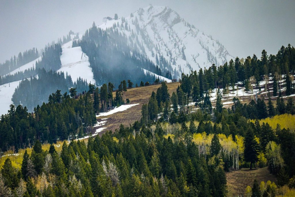
Colorado is beginning to see the first dustings of snow across the state’s higher peaks, with late-season monsoonal moisture from the south leading to frequent showers and some thunderstorms for Western Slope towns through Friday, Sept. 25, according to forecasts from OpenSnow.
Wednesday, Sept. 23, is expected to bring a slight chance of showers and thunderstorms beginning in the afternoon, which will likely build throughout the night. Precipitation is forecast to ramp up on Thursday, jumping to a 50% to 90% chance of showers after noon.
Friday’s showers and thunderstorms are expected to be much lighter, with only a 10% to 20% chance of precipitation across lower-elevation parts of the region and 40% for higher-elevation areas like Aspen and Breckenridge. The rain is forecast to clear up Friday night, with sunny and clear weather expected through the weekend.
The forecast shows temperatures shifting to slightly below-normal across the Western Slope, thanks to increased cloud cover and a small ripple of low pressure high up in the atmosphere.

Support Local Journalism
“Over the past few days we’ve been trending 4 or 5 degrees above normal. As this [rain] comes in, we’ll trend near normal to below normal by a few degrees,” said Lucas Boyer, a Grand Junction meteorologist with the National Weather Service. “With the cloud cover and the rain showers, I would expect locations with rain to be closer to 10 degrees below normal.”
Temperatures across the Western Slope are expected to warm up from Thursday to Sunday, with highs starting in the mid-50s and 60s range and climbing into the more normal mid-60s and 70s by the end of the weekend, depending on the town.
Even though there haven’t been significant fall cold fronts in the Central Rockies region yet — which can sometimes arrive in late September — it’s still cold enough for snow to form at peaks above 13,000 feet, according to OpenSnow.
“The summit of [Breckenridge] is right around 13,000 feet, so we can see that snow will generally fall above ski resort summits in Colorado over the next week, but could be a factor if you plan to hike a 14er,” OpenSnow Meteorologist Alan Smith wrote in a Wednesday report.
As cooler air moves in, Boyer said snow could start forming as low as 12,000 feet on Friday.
“This is a warm system with quite a bit of moisture from the south, and it’s just not really conducive to producing snow until we get one of those deep cold front troughs out of the Pacific Northwest that cools us off,” he said.
Like with much of September, Boyer said the recent rain and burn scars could increase the chances of flash flooding around the mountains. Those traveling throughout the week are advised to refer to local forecasts before getting on the road or outdoor trails.