Up to 20 inches of snow possible for some Western Slope mountains this week

Chris Dillmann/Vail Daily
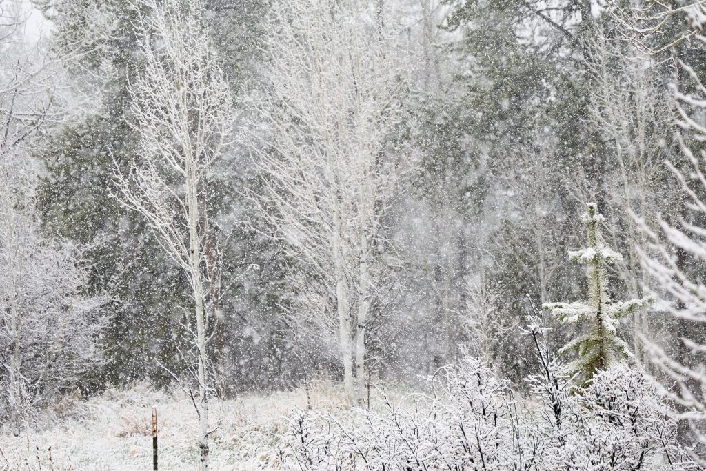
A winter storm watch is in effect for the high country with up to 20″ of snow for some resort mountains. The varying totals, although slim in some areas, could spell some good news for Colorado’s early snowmelt.
Showers are forecast to move across the north and central mountains beginning Monday afternoon, with some thunderstorms possible into the evening. Some mountains could also see light snow above 10,000 feet beginning Monday night, according to a Winter Weather Advisory from the National Weather Service.
The storm will ramp up on Tuesday, with showers favoring areas north of Interstate 70. A cold front is expected to drop down from the north beginning Tuesday evening and last throughout the day on Wednesday, bringing accumulating snowfall to higher elevation mountains and rain to the north and central mountain valleys.
“As far as accumulating snow, we won’t see much until after dark (on Tuesday),” National Weather Service Meteorologist Lucas Boyer said.
The majority of the snow will fall during Tuesday night. The following are projected snow totals for some Western Slope resorts from Monday through Wednesday, according to snow forecasts published by OpenSnow:

Support Local Journalism
- Aspen Mountain: 7 inches
- Snowmass: 6 inches
- Winter Park: 23 inches
- Arapahoe Basin Ski Area: 15 inches
- Steamboat Resort: 13 inches
- Vail Mountain: 9 inches
- Breckenridge Ski Resort: 9 inches
The Western Slope is down to one ski area still running lifts. The Arapahoe Basin Ski Area — originally scheduled to close during the first weekend of May — extended its season through Sunday, May 10, thanks to recent heavy snowfall, though the resort remains closed May 4-7.
Base towns in the northern and central mountains will likely see snow accumulations closer to 2-10 inches between Tuesday and Wednesday. Wednesday will be the coldest day of the week, with temperatures in the 30s and 40s.
What matters in your community, delivered daily.
Sign up for our morning newsletter at VailDaily.com/newsletter
The National Weather Services states that towns around the central mountain valleys — including Aspen, Snowmass and Vail — could also see winds gusting as high as 35 miles per hour.
With steadier snowfall and temperatures below freezing along the mountain passes on Tuesday night, Boyer said travel along I-70 and other high country roads could be difficult through Wednesday morning.
While Colorado’s snowpack is only at 18% of median for this time of year, recent April snowfall has helped it to somewhat stabilize after March’s freefall. The upcoming storm may not be enough to move the needle, however.
“We’re well below where we should be for this time of year,” Boyer said, adding that Colorado is roughly one month ahead of normal for snowmelt. “We have seen some improvement — if you want to call it improvement — toward the minimum line … But we’re so far below where we should be that this one storm is going to struggle to (make a dent).”
The general sentiment among meteorologists is that any snow is better than no snow, though widespread drought conditions across Colorado will likely not see much improvement from the two-day storm.
Looking ahead, more precipitation could be headed to the Western Slope mountains over the weekend of May 9, followed by warmer and drier weather for the foreseeable future.