Several rounds of snow are headed to Colorado’s mountains, beginning Saturday
The weekend of Nov. 14 will mark the first of three storms to track over the Western Slope, bringing hopes for a foot of snow over nine days.

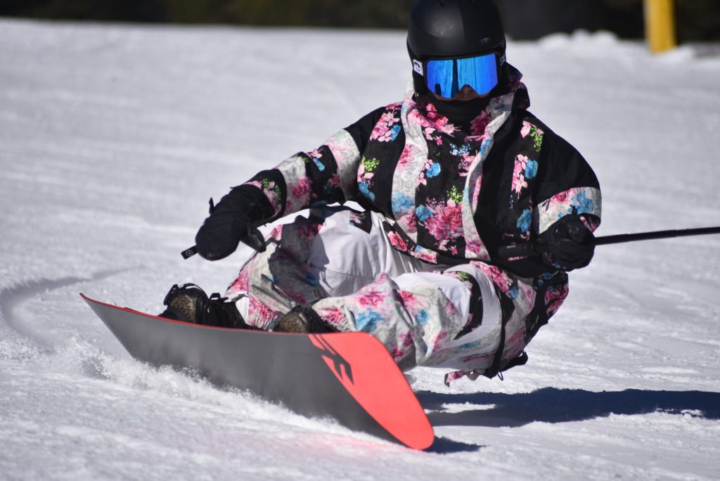
Kyle McCabe/Summit Daily News
Following several days of warm and dry weather, the upcoming weekend marks the start of an active climate pattern that could bring several rounds of snow to Colorado’s north-central mountains.
Joel Gratz, founding meteorologist with OpenSnow, said the pattern will manifest in three upcoming storms. The first will arrive on Saturday, bringing snow showers to the Western Slope mountains through Sunday morning.
Most of the snow is expected to fall in the southern mountains, leaving the central and northern mountains with roughly 1-6 inches of accumulated snow by the end of the weekend. Mountains farther to the north and east will likely see lower amounts.
“A caveat is that a few models show decent northwest flow and continuing snow showers on Sunday morning in the northern mountains, so these areas may squeak out a bit more snow,” Gratz wrote in the report.
Forecasts from the National Weather Service show that areas surrounding Vail and Aspen could see snow showers as early as 5 a.m. Saturday, with stronger chances for snow around midafternoon and before 11 p.m. The Breckenridge area could see more consistent snow between noon and 5 p.m. Saturday, with additional flakes in the evening.

Support Local Journalism
Mountains farther north — including Steamboat Springs — could see a mixture of rain and snow showers around 10 a.m. Saturday, transitioning into rain through the afternoon. Glenwood Springs is expected to see rain showers throughout the weekend.
Little or no accumulation is expected in base towns for the weekend, according to meteorologists, though nearby ski resorts could see a few inches stick to the peaks. Weekend temperatures are expected to reach highs in the mid-40s to low 50s, depending on the region.
“The downside is that temperatures will be warm, so even though mountains will see snow and not rain, the atmosphere will not be that efficient at converting moisture into snow,” Gratz wrote.
A second storm is forecast to arrive on Tuesday night and last through Thursday morning for some mountains. Once again, the southern mountains are expected to be the most favored for snow accumulation, though central and northern mountains could see slightly higher totals than the first storm — around 2-6 inches.
Temperatures will be slightly cooler, with highs in the 40s on Wednesday and Thursday, according to the weather service.
The third storm — arriving Nov. 20-21 — could be the strongest for the north-central mountains, with the potential to round out the week with 12 inches of total snow from all three storms.
Different versions of OpenSnow’s forecasting model show “solid snowfall for the northern and central mountains,” though the forecast could change as the storm gets closer. As of Friday, weather models were projecting cold temperatures resembling a midwinter storm, creating a more desirable environment for snow accumulation.
Vail Mountain and Winter Park Resort celebrated their opening days on Friday, making them two of seven Colorado resorts that have officially opened for the season, including Breckenridge Ski Resort, which opened Nov. 11. Wolf Creek Ski Area is set to temporarily reopen for this weekend, after it closed due to severe regional flooding.