Another burst of short storms is headed to Colorado. Here’s which mountains are expected to see snow.

Chris Dillmann/Vail Daily
Two light storms are headed to Colorado this week following Monday’s near-record warm and dry conditions, according to the National Weather Service.
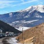
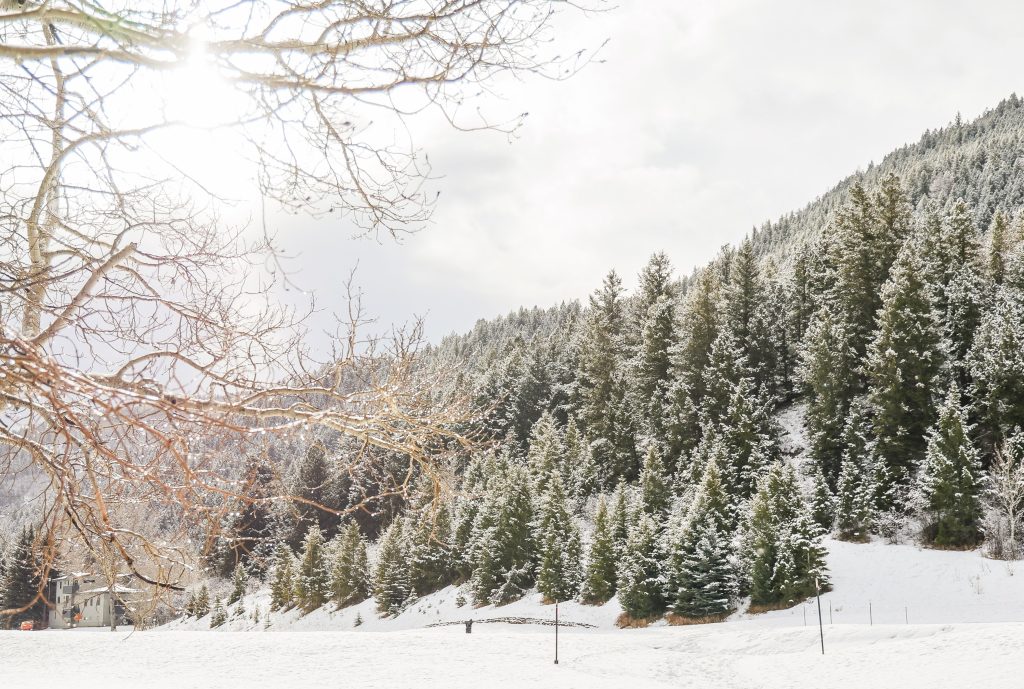
Tuesday is expected to deliver 2-5 inches of snow across the northern mountains, like Eldora, Winter Park, Copper, Breckenridge, Keystone, Arapahoe Basin and Loveland. The small storm isn’t predicted to change the state’s record-low snowpack levels significantly, but every inch this time of year counts.
The storm, which an OpenSnow report said will “be rather weak,” will be largely focused on the northern and eastern mountains, lasting from Tuesday morning through Tuesday evening. Because of the slightly cooler temperatures in the 30s and 40s, flakes are forecast to reach the base elevation for several mountains.
Additionally, “some travel impacts are likely to occur across mountain passes due to snow-covered roads,” the National Weather Service published in a Monday hazardous weather notice.
Wednesday and Thursday will be mostly dry by the late morning, with sunny skies and base temperatures in the 40s and 50s, according to forecasts from the National Weather Service.
Support Local Journalism
The second storm of the week will hit on late Thursday and last into Friday, bringing a more notable 3-8 inches of estimated snowfall to several central and northern mountains. Although the storm will initially be strong, OpenSnow Meteorologist Joel Gratz said he has “low-ish confidence” in the exact forecast.
“The storm will be colder than previous systems, so the snow quality could be on the fluffier side. We’ll see how the forecast evolves over the coming days,” Gratz wrote in the report.
After that, March 7-8 will be another dry weekend. The next storm that could deliver snow and colder air is possible around March 10-11, according to low-range forecasts.
Despite the moderate forecast, multiple storms have brought over a foot of snow to most Western Slope ski areas in the last two weeks. OpenSnow reported that in the past 15 days, Crested Butte received 32 inches of snow, Vail Mountain received 31 inches, Steamboat Ski Resort received 28 inches, Aspen Mountain received 26 inches and Breckenridge Ski Resort received 20 inches, to name a few.
The recent snowfall has also resulted in more open terrain across resorts. Vail Mountain and Breckenridge Ski Resort both have around 80% of terrain open, while Aspen Mountain is at 98%.

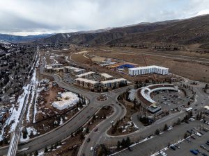
Where the locals go: Town of Vail searches its soul for vibrancy DNA in renovation boom
As Vail Town Manager Russ Forrest settles in front of his desk in his Vail Municipal Building office on a recent weekday as a rare-for-this-winter snow squall spits fat flakes past his windows, he wonders out loud what the town can do to maintain its vibe in the face of a redevelopment push that’s changing the look and feel of Vail’s famed, faux-European, Tyrolean charm.