More snow on the way for Colorado’s Western Slope as temperatures drop
More favorable snowmaking conditions could arrive this Friday and last through November

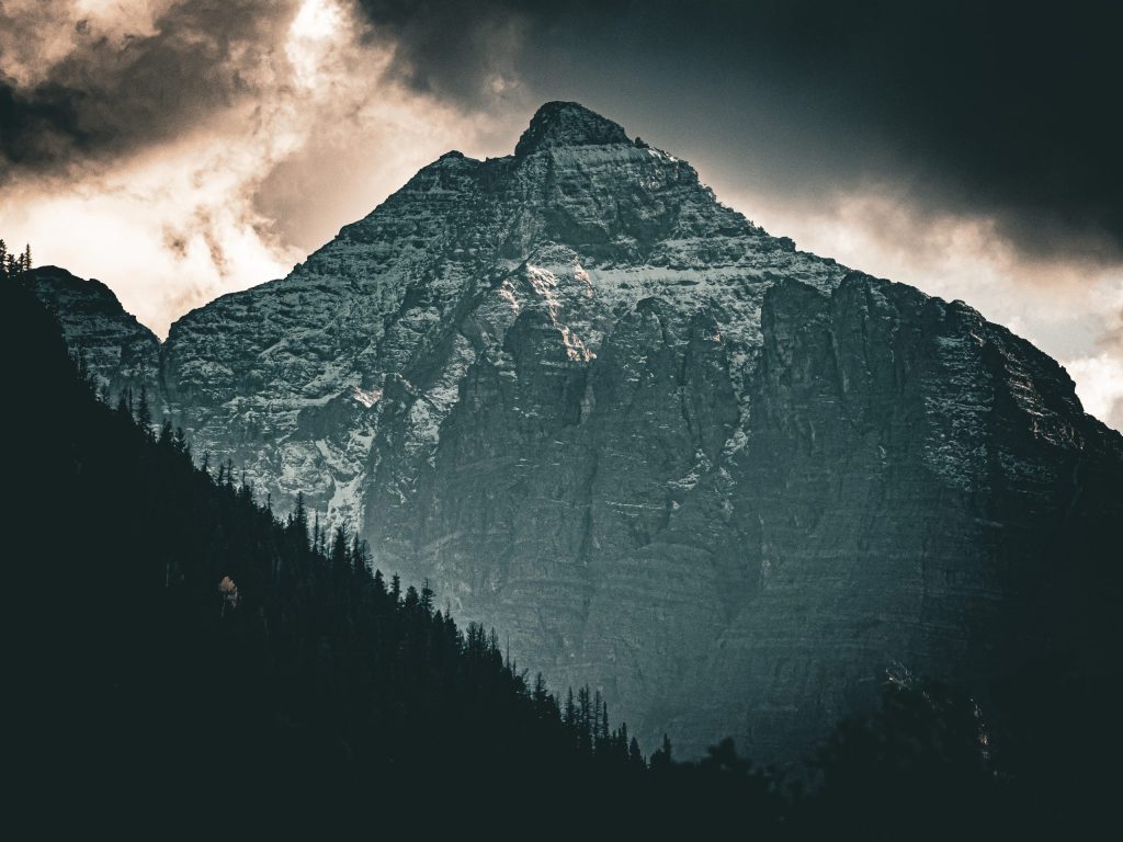
Austin Colbert/The Aspen Times
October is bringing in another round of stormy weather to wrap up the cooling month, translating into rain — and later, snow — for parts of western Colorado.
So far, this October has been “wetter and snowier” for the Western Slope compared to October 2025, with temperatures sitting near the state’s climatological normals for the month, according to National Weather Service Meteorologist Kate Abbott.
“[Some areas] in the mountains didn’t have any snow [in October 2025], so it’s definitely snowier so far this month,” Abbott said. “And I guarantee we’re definitely wetter.”
October’s heavier precipitation fits in line with long-term El Niño forecasts, which show Colorado receiving heavier snowfall during the first and last few months of the season, with a mid-season lull expected in December and January.
Although the forecast shows warmer-than-normal temperatures could hit parts of the northern mountains over the next couple days, Friday’s push of cold air is expected to bring temperatures 5 to 10 degrees below normal into the weekend of Oct. 23, setting the mountains up for another round of snow showers, Abbott said.

Support Local Journalism
This week’s storm pattern is expected to resemble what the state saw last week, with the strongest precipitation totals staying in the southwestern mountains, thanks to a stormy weather pattern around the southwestern U.S. pushing moisture into Colorado.
“A lot of our precipitation this year has been a lot heavier in southwest Colorado, up to about I-70 or so,” Abbott said. “Locations north of there have gotten less precipitation over the last month … but they did get a good push of snow that’s trending higher than October of last year.”
Monday and Tuesday, Oct. 19-20, were forecast to deliver rain showers across the Western Slope, with temperatures nearing highs in the mid-50s and 60s, according to forecasts from the National Weather Service.
Wednesday is showing a stronger precipitation signal despite being the warmest day of the week, with some snow possible above 12,000 feet from Wednesday night into Thursday. Most of the precipitation is expected over the southern mountains, though the northern and central mountains could see some snow in the highest peaks after Thursday’s transition to cooler temperatures.
Precipitation is expected to continue through Friday, with cooler temperatures in the low- to mid-50s bringing snow closer to 10,000 feet for some mountains. Ski resorts in the northern and central mountains — including in Breckenridge, Vail, Aspen and Steamboat Springs — are forecast to receive a mix of rain and snow beginning Friday night and lasting through the weekend.
The storm is expected to weaken slightly with partly sunny skies from Saturday into Sunday, though snow showers are still possible in higher elevation towns including Breckenridge, Vail, Aspen and Steamboat Springs.
Western Slope resorts could see between 1 and 4 inches of total snow by Sunday night, with more expected during the week of Oct. 26, according to a Monday OpenSnow report.
Conditions could become favorable for snowmaking — determined through a mix of temperature and humidity — starting around Oct. 23 and then continuing into November.
“If this forecast holds, I think there will be decent/solid snowmaking during the final week of October,” OpenSnow Founding Meteorologist Joel Gratz wrote in the report, “and there might be some lifts spinning.”