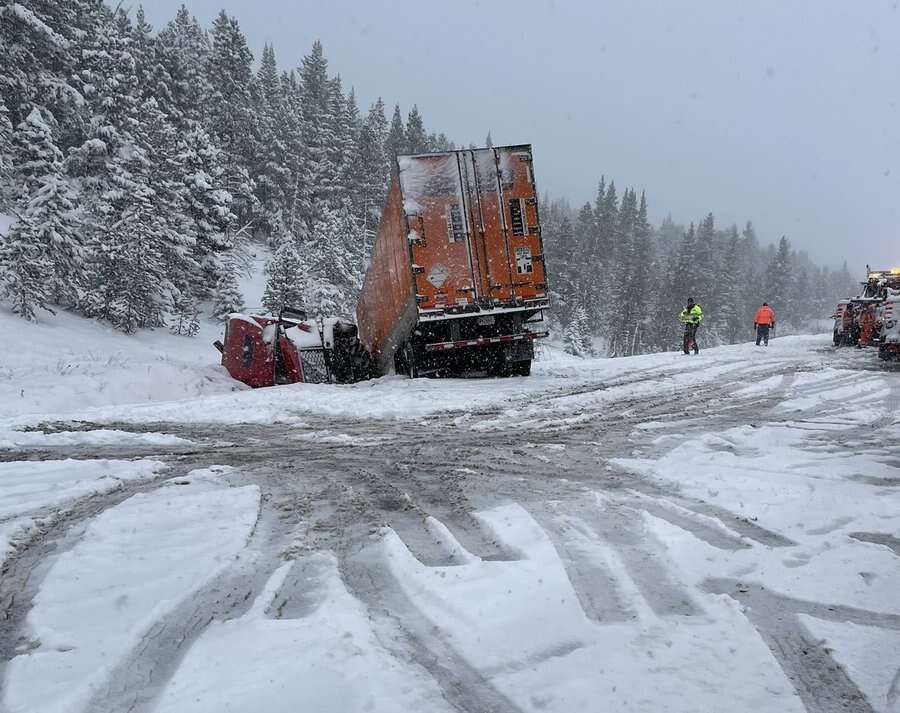
Snowstorm that brought 16 inches to Arapahoe Basin also closed Vail Pass for 7 hours
Friday incident started with three vehicles but involved eight more before it was over

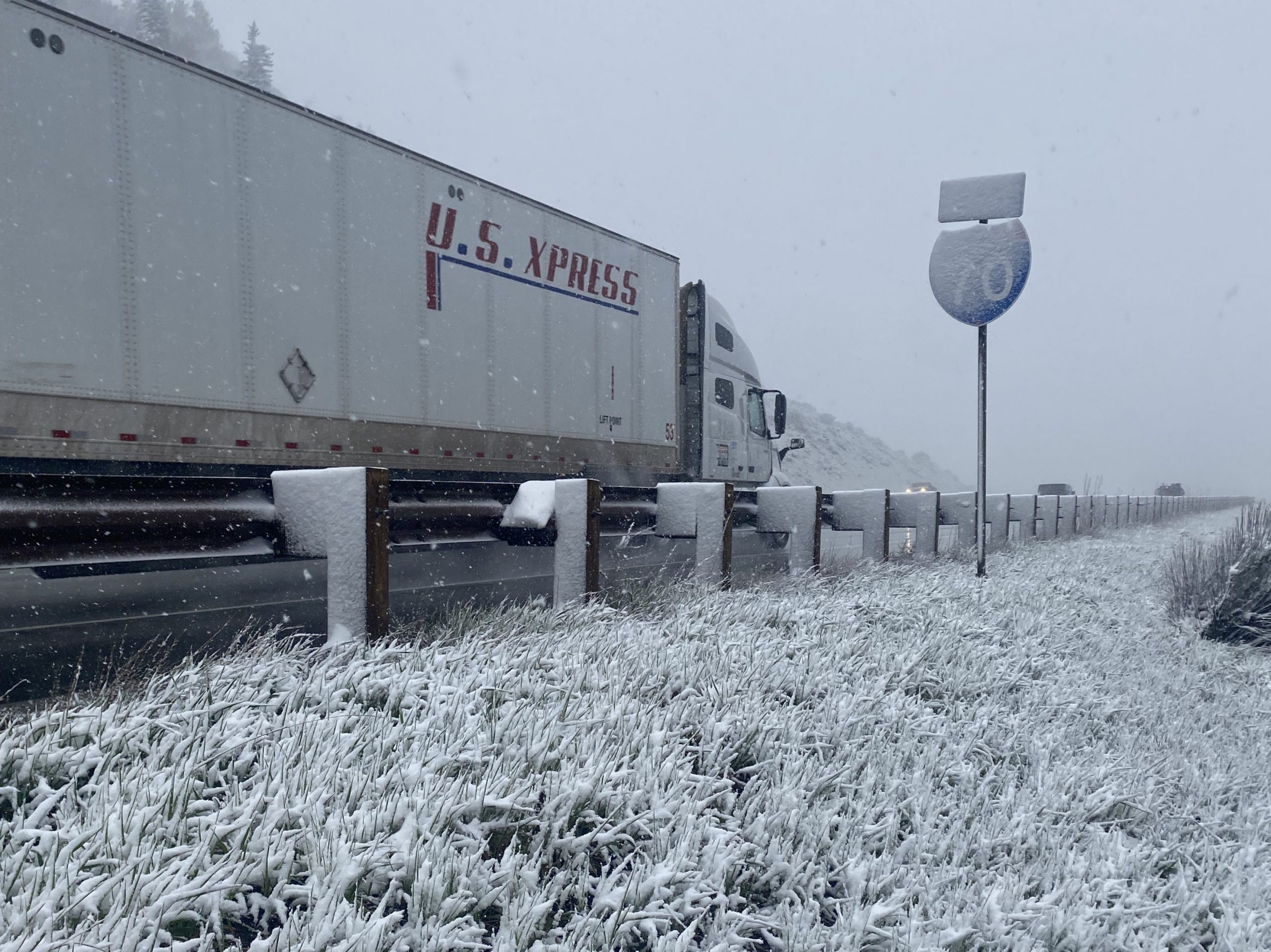
A big blizzard, which covered the Colorado high country with snow on Friday, impacted travel into the early morning hours on Saturday.
Snow was reported on much of the Western Slope, but in the high elevations more than a foot of fresh snow fell from Friday morning to Saturday morning.
Arapahoe Basin, on Saturday morning, reported 16 inches of fresh snow over the past 24 hours.

On Vail Pass, a traffic closure lasted more than 7 hours, with roughly a dozen vehicles in the ditch and one person sent to the hospital.
The closure started when two sedans and a semi slid off the roadway at mile marker 189 some time during the 4 p.m. hour, said Master Trooper Gary Cutler with Colorado State Patrol. The westbound closure of Vail Pass started at about 5 p.m.
Support Local Journalism
“And then they kept it closed, had another – at least four – slide offs and a semi that jackknifed and rolled,” Cutler said. “Then had three more slide offs in the area.”
The eastbound side of the interstate was also closed for about three hours, as a safety precaution, from 7 p.m. to about 10:15 p.m.
A tractor-trailer truck at the scene needed to have diesel fuel removed before it could be extracted from the roadway. It took crews until about 10:20 p.m. to remove that truck.
One person was transported to Vail Health hospital with suspicion of a collapsed lung.
Cutler said Vail Pass westbound at mile marker 195 was reopened to vehicles some time after midnight on Saturday morning.
The National Weather Service, at 5 a.m. on Saturday morning downgraded its Winter Weather Advisory to a Hazardous Weather Outlook, saying freezing temperatures in the high valleys are once again expected and steps should be taken to protect sensitive vegetation and irrigation systems on Saturday night.
A passing weather system “will continue to bring a chance of mountains snowfall into the mid week system,” the National Weather Service’s Grand Junction officer reported on Saturday. “In the lower elevations critical fire weather conditions will be the concern.”