Snowpack recording station on Vail Mountain reaches 0.0″
Earliest meltout in station's 47-year history

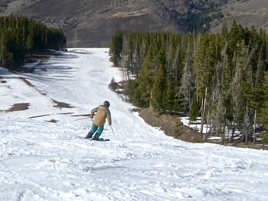
John LaConte/Vail Daily
The USDA snow telemetry station on Vail Mountain has been recording snowpack measurements of 0.0 inches as of Tuesday. It’s the earliest melt-out in the station’s history. The station is located in the Upper Ledges/Lodgepole area of Vail Mountain.
The station was installed during the 1978-79 season and measures snow-water equivalent, a snowpack measurement designed to give water managers a better idea of what kind of water flows to expect in creeks and rivers during the spring runoff season.
Prior to this year, the earliest meltout at the Vail Mountain station occurred on April 7, 2012. That season, Vail Mountain’s snow-water equivalent peaked at 12.4 inches on March 4, 2012.
Some years, the station will start recording trace amounts of persistent snowpack after meltout, if snowstorms hit the area. Measurements of more than 1 inch of snow-water equivalent were recorded at the site from April 16 to April 21, 2012, before it melted to 0.0 inches again on April 24, 2012.
This year, Vail Mountain’s snow-water equivalent peaked at 9.5 inches on March 9. The 30-year median for 1991 to 2020 on March 31 is 18.7 inches. The 30-year median continues to climb until April 23, where it peaks at 19.9 inches. The 30-year median reaches 0.0 inches on June 1.
Support Local Journalism
The intense melt the Western Slope of Colorado has seen in recent days is part of a wave of record-breaking high temperatures being experienced across ski towns.
The high temperatures will continue for the next few days, says Meteorologist Joel Gratz with opensnow.com, before the Vail area sees “a colder storm around April 3-5, and another storm around April 8-10,” Gratz said.