Showers and thunderstorms forecast for Colorado’s High Country as wildfires rage across the state
Colorado’s mountains finally have some rain in the forecast, but it won’t be enough to shrink the state’s heightened wildfire risk

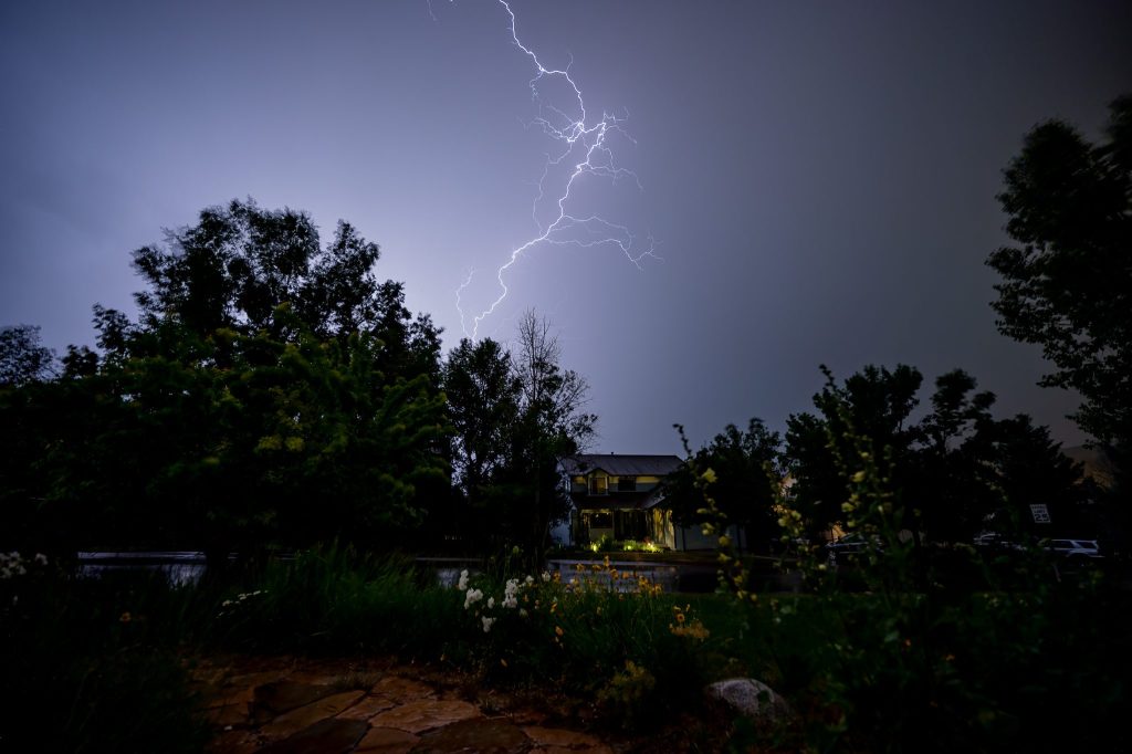
Ben Roof/Special to the Vail Daily
Following several days of hot, dry weather, Colorado’s Western Slope is poised to see a period of rainy skies with possible thunderstorms ahead of what meteorologists expect to be an active monsoon season arriving later this summer.
Beginning Tuesday, a wave of energy is expected to track across the Northern and Central Rockies, leading to a significant uptick in thunderstorm activity statewide, according to a July 6 report from OpenSnow Meteorologist Alan Smith.
The forecast shows a moderate-to-high chance of showers and thunderstorms across the High Country beginning Tuesday afternoon, with patchy smoke lingering from the morning through the early afternoon due to active fires located across Southeast Utah and Southern Colorado.
Wednesday is expected to bring more of the same, with up to a 40% chance of showers and thunderstorms and possible wind gusts up to 25 miles per hour across the northern and central mountains, according to the National Weather Service. Thunderstorms could become more scattered with limited moisture on Thursday, followed by a return to clear skies by Friday.
Temperatures across the northern and central mountains are forecast to sit in the 70s and 80s throughout the week, with some areas, including Glenwood Springs and Steamboat Springs, reaching into the 90s by the weekend as hot and dry conditions once again take hold of the region.

Support Local Journalism
Little-to-no impact on wildfire risk
While stronger storms throughout the week could produce locally heavy rain in some of the mountains, drier air at lower elevations could lead to a “dry thunderstorm” setup when paired with gusty winds and limited rainfall, especially on Thursday, Smith wrote in the report.
The possibility of dry thunderstorms — bringing lightning strikes on dry vegetation with no rain to extinguish the resulting sparks — could heighten wildfire risk in drought-stricken regions of the state.
“There is still some concern about what thunderstorm outflow winds could do to ongoing wildfires if these fires themselves do not receive meaningful rain,” Smith wrote.
Gillian Felton, a Grand Junction meteorologist with the National Weather Service, said it’s hard to say whether the upcoming showers will impact the state’s extreme fire risk. Because the showers and thunderstorms forecast for this week likely won’t be dropping a significant amount of precipitation, it presumably won’t do much to impact existing wildfires across the state.
Much of Colorado’s Western Slope remains in the highest level of drought as of July 2, according to the U.S. Drought Monitor.
“Even though we are getting this push of moisture, it’s really rather weak,” Felton said. “While some localized areas might see more precipitation than others, overall, this moisture moves through quickly and we get right back to very dry, very hot conditions.”
Is monsoon season officially here?
Though this week’s rainy forecast marks a temporary uptick in moisture, Felton said it doesn’t yet signal the start of Colorado’s monsoon season.
“We pretty quickly will return to drier weather,” Felton said. “By Friday, anomalously dry air moves back in, and we’re looking at very hot and very dry conditions this weekend. This little push of moisture we’re getting is nice, but it’s going to be quite short-lived.”
Although hot and dry conditions will take hold across Colorado’s mountains over the weekend, confidence is growing that significant monsoon moisture could surge into the Western U.S. sometime during the week of July 13, though it will likely hit the Northern and Central Rockies before it arrives in Colorado.
“The core of this monsoon moisture surge is coming out of the Gulf of California with strong southerly flow, which may favor Arizona, Utah, Wyoming, Nevada, Eastern Idaho, and the Sierra (Nevada) in California,” Smith wrote in the report. “But this moisture should eventually spread into Western Colorado as well, which is in great need of meaningful rains given the ongoing fire situation.”
Longer-range models are hinting at an overall active monsoon for the second half of July and into August, according to Smith.